New UAV drone to support existing LiDAR capabilities

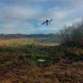
QuarryDesign are excited to be the first specialist geological and geotechnical consultancy in the UK to acquire a fixed-wing pilotless UAV drone.
The UAV (unmanned aerial vehicle) is based on a blended folding-wing airframe, with the focus on maximum endurance and high payload capacity. Take-off and landing is automated and flight planning based on Google Earth imagery.
A simple user interface allows for the addition, adjustment and deletion of waypoints, orbits and landing points. These can be changed at any time during the flight.
QuarryDesign say the UAV will be an important addition to support their existing long-range (up to 2km) high-density lidar scanner, acquired in 2010.
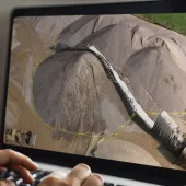
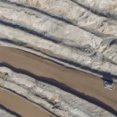
This equipment will allow the consultancy to provide clients with remote, fast and accurate acquisition of: stitched, orthorectified aerial photos; accurate ground digital terrain models; aerial videos; and stock surveys.
The UAV platform will also allow for future airborne-based lidar scanning and the use of multispectral, RGB and thermal cameras.
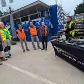
Continuing QuarryDesign’s ethos for remote, safe, surveying and geological mapping, the new UAV will be on show on stand P23 in the main pavilion, where visitors will be able to enter a prize draw for a free aerial photo and survey of their quarry, and other prizes.


