BGS joins new UK Centre for Seabed Mapping
British Geological Survey joins UK CSM to help boost marine data and mapping standards
THE British Geological Survey (BGS) has become one of the latest UK government organizations to join the newly unveiled UK Centre for Seabed Mapping (UK CSM), helping to boost marine data and mapping standards.
UK CSM is a new initiative designed to increase the global coverage, quality, and accessibility of seabed mapping data through national collaboration. The centre, which is administered by the UK Hydrographic Office (UKHO), aims to support a more integrated marine geospatial sector for the UK.
Quality marine geospatial data is essential for almost every activity undertaken in the marine domain, including maritime trade, environmental and resource management, shipping operations, and national security and infrastructure.
BGS has signed a memorandum of understanding (MoU) with UKHO, outlining its commitment to being a member of UK CSM. Under the agreement, BGS will work collaboratively with several UK government organizations in a co-ordinated approach to the collection, management, and access of seabed mapping data.
BGS data manager Mary Mowat said: ‘UK CSM and its co-ordinated approach is essential to enable a more unified voice and raise the profile of seabed mapping.
‘BGS has a rich history of managing marine data and seabed geological mapping. This this partnership will ensure UK CSM benefits from impartial geological expertise, data, and information to help increase the coverage, quality, and access of seabed mapping data collected both by public-funded projects and through industry. This will significantly improve future understanding of the UK seabed.’
The MoU sets out ways of working between BGS and UKHO/UK CSM to support UK CSM’s activity and describes key areas for collaboration, including data sharing, information reporting, and policy input.
The core focus of the partnership will be bathymetry, and its associated data, in order to improve the foundation dataset within the marine environment. The partnership will also provide opportunities to collaborate around other elements of seabed mapping through co-ordination and data sharing, whilst working towards more unified data collection standards.
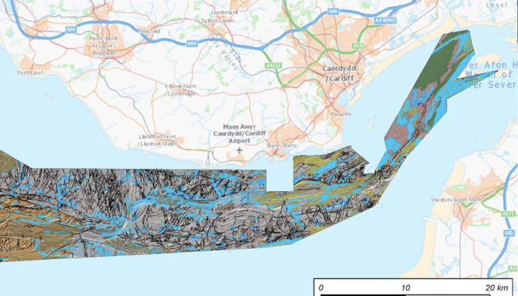
BGS marine geologist Dayton Dove said: ‘It is anticipated that UK CSM will also provide a forum to stimulate and promote further application of seabed data, eg geological mapping of the seabed, which is becoming a key resource to underpin activities like offshore renewable development, potential carbon capture and storage (CCS) projects, and the management of dynamic marine ecosystems.’


