Free access to marine geology from the BGS

British Geological Survey releases a wealth of information on the seabed around the UK
THE British Geological Survey (BGS) has released a wealth of information on the geology of the seabed around the UK. These data are available to download for free, accompanied by viewable maps, and will be a valuable resource for companies, researchers and decision-makers in efforts to ensure sustainable development of the marine environment.
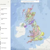
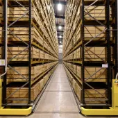
The information comprises geophysical data representing 800,000km of the geology of the UK marine environment, enough to wrap around the British Isles more than 200 times. The data are derived from 18,500 paper records which have been scanned and can now be viewed online on the BGS Offshore GeoIndex. This builds on the release in 2014 of geological data from around 80,000 sampling locations.
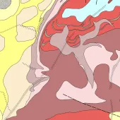
The release also includes viewable BGS digital geological map products together with new
geological maps of the UK Continental Shelf (UKCS) area, produced in collaboration with the
Crown Estate, which provide the geological context for the GeoIndex data.
‘The free release of 800,000km of BGS single-channel shallow-marine seismic data represents another step change in easy access to BGS data which will benefit offshore developers, researchers and government,’ commented Bob Gatliff, director of marine and energy geoscience at the BGS. ‘This latest release follows a major scanning programme completed prior to the BGS Scotland move to the Lyell Centre.’
Keith Westhead, marine geologist at the BGS, added: ‘The Offshore GeoIndex now includes a critical mass of open data and geological mapping, meaning it is the ‘must see/go to’ resource for UK offshore studies. The new ‘clip-zip-ship’ tools make it an efficient and practical starting point for projects studying the seabed and subsurface across the UKCS.’
Peter Edmonds, spatial data manager with the Crown Estate, said: ‘This update provides a step change in the accessibility of detailed geological data. By digitizing, reinterpreting and making data available for free in this way, the BGS is making a huge contribution to the ability to research, plan and understand the UK’s seabed.’


