BGS releases 3D geological visualization models
New free-to-access regional models reveal the geology of the UK below the ground surface
THE geology of the UK can now be explored in the third dimension with the release a suite of free-to-access regional models by the British Geological Survey (BGS). These new geological visualization models shine a light into the underground and reveal what lies beneath the surface.
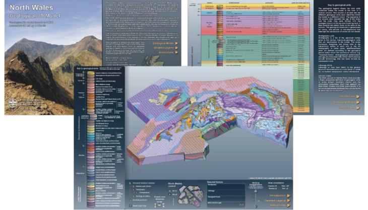
The BGS is launching 14 geological visualization (GV) models to provide a unique 3D view of the structures and geological units that make up the upper 1.5km of the UK’s crust. Delivered in a pdf format and available to download from the BGS website, the ‘GV models’ bring to life the 3D nature of the Earth by providing an interactive format to enhance conceptual understanding of the UK’s geology.
The GV models allow the user to explore the world below ground in a number of ways — zooming in and out, rotating the view, highlighting different geological sections and querying key information. A detailed legend provides information on each geological unit in the model, such as the age and type of rock, revealing the hidden structure of the underground.
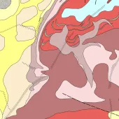
Constructed from the 1:625 000-scale bedrock geology map and the UK3D national fence diagram of cross-sections, the GV models cover England, Wales and Northern Ireland (with models for Scotland planned). They represent a step change in open-access 3D geoscience resources for the UK and complement other regional information resources the BGS delivers.
The 3D models have been developed under the BGS National Geological Model project and form part of a wider national programme, funded by a range of stakeholders, to make BGS science publicly available and accessible to all.
Dr Katie Whitbread, BGS’s National Geological Model project manager, said: ‘3D geology opens up the complex world beneath our feet in a way that can be easily understood. The 3D models may help professionals working in industry and environmental regulation, as well as providing tools for public engagement and teaching. But these open-access tools are there for everyone to explore and discover, whatever your interest in the subsurface.’


